Jump to navigation
Map showing locations of forest vegetation inventories done in the NWT.
NWT Forest Vegetation Management Inventories Map (pdf/642.16 Ko)
Map showing locations of several rare plants found in the NWT.
Rare Plants Map (pdf/1.11 Mo)
Map highlighting the ecological regions of the Arctic Islands Ecozone.
Arctic Islands Ecozone Map (pdf/39.09 Mo)
Map highlighting areas where forest management inventories have been done.
Plan d’aménagement des terres publiques du secteur du Wek’èezhìi (pdf/3 Mo)
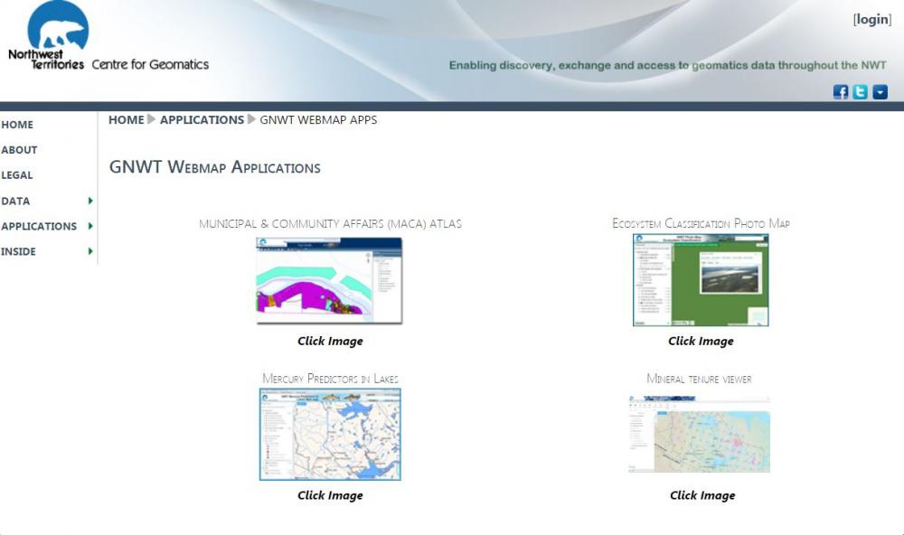
The Northwest Territories Centre for Geomatics was established primarily to provide geomatics and geographic information systems (GIS) services to the departments of the Government of the NWT.
Zone Visée le long de la Route no 3 et de la Route Ingraham Trail (pdf/9.74 Mo)